
Remembering a history of conflict
Only a few miles north of present day Lake Martin, there is a sharp bend in the Tallapoosa River, sharp enough to look like a horseshoe. On the peninsula that fills the inside of the horseshoe, a battle fought in 1814 opened a vast area of land to white settlement and set a Nashville lawyer on the road to the White House. The battle site is preserved as the Horseshoe Bend National Military Park.
It is a good place to spend a few hours away from the lake. In practical terms, the battle fought at Horseshoe Bend was the culminating engagement of the Creek War of 1813-14, in which many Indians resisted the continued encroachment of white settlers into their territory and took up arms to try to stem the tide. News of the killing of about 250 men, women and children at Mims in southwestern Alabama inflamed passions. Andrew Jackson set south with his army of Tennessee militia and a U.S. infantry regiment on a campaign to put an end to the Indian rebellion. He focused his attention on the heart of the Indian country between the Coosa and Tallapoosa rivers.
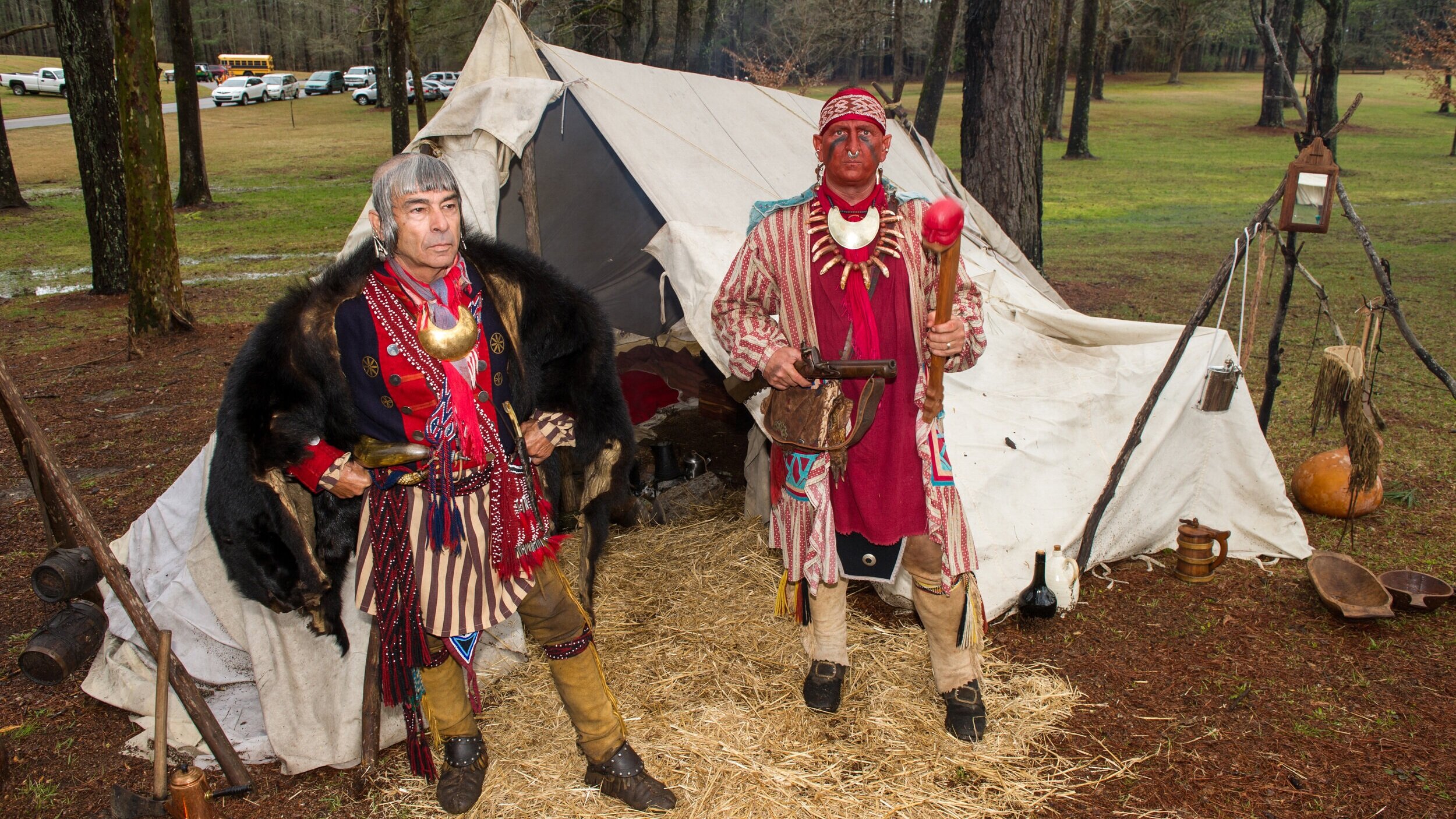
The Creeks, led by Menawa, had built a village called Tohopeka near the end of the peninsula. Across the neck of the peninsula the Indians built a barricade of logs and earth. It was here that they would make their stand.
Jackson and his army arrived on March 27, and the Battle of Horseshoe Bend ensued. It pitted about 1,000 Creeks against a force of about 3,300 men — militia, regular army and Cherokee and Lower Creek allies. Troops and Indian allies under Gen. John Coffee crossed the river about three miles downstream from Horseshoe Bend and took up places along the outer bank of the bend. Jackson and his troops faced the barricade the Creeks had built. Fire from Jackson's small battery had little effect on the barricade, but some of the Indians with Coffee crossed the river and attacked the village, driving the Creeks up the peninsula toward the barricade as Jackson's troops were making a successful frontal assault on the barricade. The Creeks were overwhelmed. Of the approximately 1,000 warriors, 557 died on the battlefield and another 250 or so who tried to escape across the river were killed by Coffee's waiting troops. Jackson suffered 49 killed and 154 wounded; many of the latter would die from their wounds.

Although he was wounded, Menawa escaped. He and the other survivors held out until August when Menawa surrendered to Jackson at Wetumpka. The Creeks were forced to sign away some 23 million acres in Georgia and Alabama.
Jackson's victory made him into a popular hero. His fame grew with his victory over the British at the Battle of New Orleans in January 1815, and "Old Hickory" was elected the nation's seventh president in 1828.
Horseshoe Bend National Military Park is on Alabama Hwy. 49, 11.2 miles north of the intersection with U.S. Hwy. 280. The park is open every day except Thanksgiving Day, Christmas Day and New Year’s Day. The visitor center is open from 9 a.m. to 4:30 p.m. It features exhibits and a slide program about the battle. The three-mile loop through the park is open 8 a.m. to 5 p.m. Admission to the park is free. The park includes a nature trail and two picnic sites. There is also a boat ramp on the south side of the Tallapoosa River Bridge that is open from dawn to dusk daily.
Andrew Jackson was not the only person in the battle whose name lives in history. Maj. Lemuel Purnell Montgomery, who was killed in his first battle, is the namesake for Montgomery County. His grave is the only one in the park. (The City of Montgomery also is named for a soldier, Gen. Richard Montgomery, who was killed in the Revolutionary War Battle of Quebec in 1775.)
Sam Houston, who was to gain fame in Texas, was severely wounded in the Battle of Horseshoe Bend. It is said that the wound bothered him for the rest of his life.
A number of events, including historical reenactments are held at the park during the year. For more information, visit the park’s web site at www.nps.gov/hobe/index.htm.